
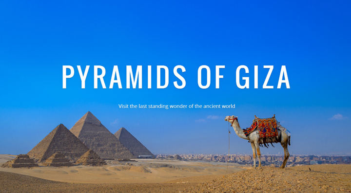
Google Maps has added photos of the Egyptian Great Pyramid of Giza to Street View. Visitors can zoom in on landmarks from above as well as see them from street level.
In addition to the pyramids, they also captured photos of the Great Sphinx, the necropolis of Saqqara, the Citadel of Qaitbay, the Cairo Citadel, the Hanging Church and the ancient city of Abu Mena.
Google have gathered tens of millions of images that cover iconic landmarks from around the world, including the Burj Khalifa, Venice, the Eiffel Tower and the Lamborghini Museum. Images are collected using 75-megapixel 360-degree panoramic cameras. Watch the video below for more information.